Makalu Barun National Park
The Makalu Barun National Park is the eighth national park in the Himalayas of Nepal and was established in 1992 as eastern extension of the Sagarmatha ...
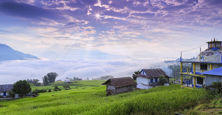
Makalu Barun National Park is a national park in the Himalayas of Nepal that was established in 1992 as eastern extension of Sagarmatha National Park. It is the world’s only protected area with an elevation gain of more than 8,000 m (26,000 ft) enclosing tropical forest as well as snow-capped peaks. It covers an area of 1,500 km2 (580 sq mi) in the Solukhumbu and Sankhuwasabha District. The National Park is surrounded by a bufferzone to the south and southeast with an area of 830 km2 (320 sq mi).
There are 47 varieties of orchids, 67 species of bamboos,15 oaks including Arkhoulo, 86 species of fodder trees and 48 species of primrose. Over 400 species of birds have been sighted in the Makalu-Barun area. Where two species never before seen in Nepal the spotted wrenbabbler and the olive ground warbler. The Arun river system contains 84 varieties of fish.
NATIONAL PARK FEATURES
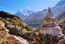
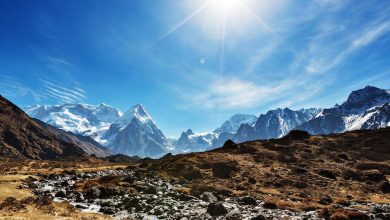
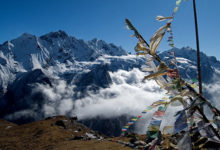
The rugged Himalayan landscape is the main attraction of this park. The world’s fifth highest peak Mount Makalu(8463m) is the major landmark. For trekkers the Makalu Base Camp and the Mera Peak are popular places to visit. Along the way plenty of glaciers, glacial lakes, rivers, hot springs, cliffs, gorges and snow capped peaks can be observed. All of this makes this national park a lust for the eye and a striking experience. Due to the rugged terrain trekking in Makalu Barun also brings along certain risks. Trekkers therefore always should be aware of snow, slippery rocks and overnight frost aswell as dangerous rockfall.
MAKALU BARUN AREA CLIMATE
The park is located in the eastern climatic zone of the Himalayas, where monsoon starts in June and eases off in late September. During these months about 70% of the annual precipitation of 4,000 mm (160 in) falls. The first monsoon clouds reach the area in April. Temperatures vary greatly due to the extreme difference in altitude in the entire area. Lower elevations are temperate throughout winter and hot during April and May. The tropical and subtropical zones are frost free, with average monthly mean temperatures above 18 °C (64 °F).
FLORA AND FAUNA
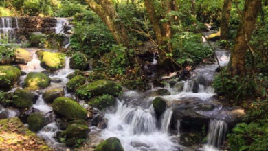
The variety in altitude also leads to a rich nature with twenty different eco-systems, ranging from Sal forests to Alpine zones including glaciers and rocky snow capped mountains. Depending on the altitude trees such as Chir Pines, Oaks, Maples, Magnolias, Firs and Rhododendrons can be found. The plant life is built up with 284 species, eight of which are endemic. The 47 orchid species that grow in Makalu Barun make the plants a lust for the eye.
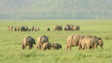
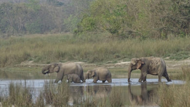
A total of 88 mammal species live throughout the park with animals such as the Snow Leopard, Himalayan Black Bear, Red Panda and Wild Boar, well worth a visit for animal spotters. Birdwatchers can also get their part of the thrill as a total of 440 species are living in the park. Important species include the Spiny Babbler, Impeyan Pheasant, Rufous Throated Wren Babbler and the Slety-bellied Tesia. Furthermore 59 species of reptiles and 78 species of fish inhabit the national park.
TRAIL SAFETY
Most trails are quite rocky, and become slippery after rain or overnight freezes. Until April or May, winter snows generally stay on the passes and on high altitude trails approaching shershong.One particular hazardous area is the trail between Mumbuk and Yangle Kharka, an area of unstable and dangerous Rock fall. Trekkers in this area should move quickly and watch for falling rocks. Mountain sickness can also be a serious risk if elevation gains are rapid without proper acclimatization.
HOW TO GET THERE
There are daily flights to Tumlingtar from Kathmandu and Biratnagar to Tumlingtar could also be reached from Biratnagar/Dharan. It is a 6/7hrs drive to Hile and 3 day trek to Tumlingtar from there.You can also reach Inkhu valley of Makalu Barun from Lukla and Phaplu. There is regular flight from Kathmandu to lukla/phaplu.
CAMPING REGULATIONS
Campsites have been designated along the trek route. The purpose of this designation of campsite is to regulate the impact on vegetation, aesthetic, landscapes damage and waste management etc. Seven campsites have been designated in ( Khongma 3500 m, Dobato 3500m, Yangle 3570m, Neghe 3700m, Langmale 4100m, Shershong 4600m) and dragmaru.
NATIONAL PARK FACILITIES
The Makalu-Barun National Park and Buffer Zone headquarter is located at Murmidanda, Seduwa. Makalu Barun is remotely located and thus the facilities are limited. Whichever food supplies you may be needing you can find in Tumlingtar, after Tumlingtar, don’t count on finding supplies on the way, so be sure to carry enough with you. To protect and preserve the environment six campsites have been designated throughout the park. These sites are: Khongma(3500m), Dobato(3500m), Yangle(3570m), Neghe(3700m), Langmale(4100m) and Shersong(4600m). Do not forget to take a well equipped first-aid kid with you as medical facilities are close to none.


