
DirectoryNepal Hotels
Daali Hotel & Apartment
At Daali Hotel & Apartment Kathmandu you will find free airport shuttle service, a 24-hour front desk. An array of activities can be enjoyed on site or in the surroundings, including cycling and hiking.
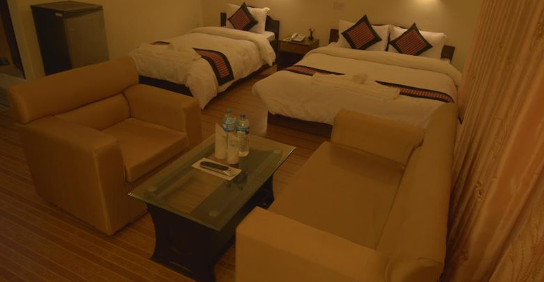
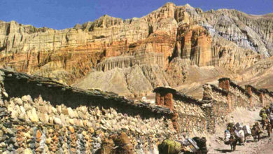
Get your trip off to a great start with a stay at Daali Hotel & Apartment, which offers free Wi-Fi in all rooms. Strategically situated in Amrit Marg, Jyatha,Thamel. It allowing you access and proximity to local attractions and sights.
The serviced apartment offers luggage storage to guests for before check-in and after check-out. The front desk is always open, day or night.
If you’re looking for an easy way to get around Kathmandu with private transportation, the serviced apartment can arrange both taxis or car rental.
Using our latest online booking system, you can easily book and secure a room at our hotel as you plan your vacation in Nepal.


Name: Daali Hotel & Apartment. P. LTD
Address: Amrit Marg, Kathmandu 44600, Nepal.
Mobile: +977 9851171975
E-mail: [email protected]
Web: www.daalihotel.com
Address: Amrit Marg, Kathmandu 44600, Nepal.
Mobile: +977 9851171975
E-mail: [email protected]
Web: www.daalihotel.com
E-mail: [email protected]